Distance:12.7 miles Time: 7hrs (inc. stops) Total ascent: 1045m
This was a solo walk, and my plan was to set off from Troutbeck at 4am so that I was on the ridge towards Thornthwaite when the sun came up. I was hoping for deep shadows and that golden hour, but it was not to be – a cloud layer at around 700m refused to budge until around 10am, by which time I was almost back!
After setting off around 4:10am from a car parking spot near the church in Troutbeck, I steadily ascended to Sour Howes. While there is no path marked on the OS map, there’s a fairly obvious trail which detours from the footpath and takes in Sour Howes and Sallows before rejoining the footpath.
Reached Sour Howes at 5:05am with no sign of any sunrise…
Looking ahead, I could see the higher peaks were shrouded in cloud, which I hoped would burn off.
There’s a well worn trail which follows the contours of the land round to Sallows, which was reached 30 mins later at 5:35am.
The trail onwards was easy to pick up, but on descending from Sallows the footpath was blocked by cows with their calves. Rather than disturb them, I took a detour following a demolished dry stone wall which eventually rejoined the main footpath.
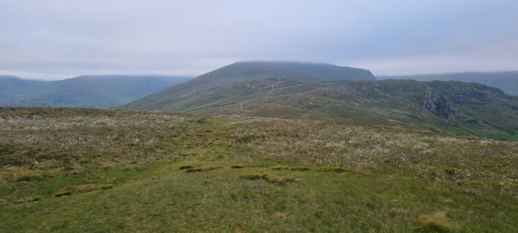
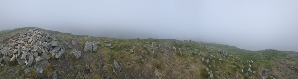
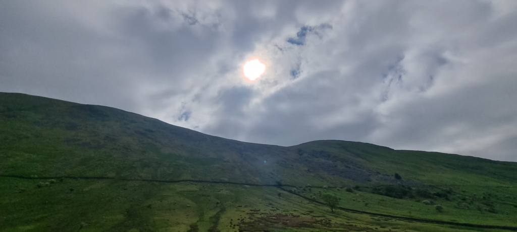
Halfway between Sallows and Yoke, and the cloud was showing no signs of lifting
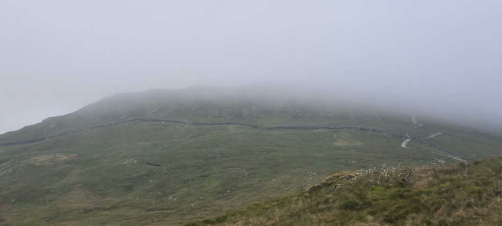
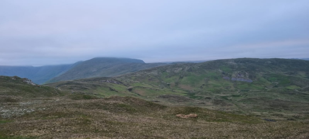
I finally reached Yoke after an hour at 6:40am. I was well into the cloud layer, visibility was around 300m, which was disappointing. I didn’t spend long here, and pushed on to Ill Bell.
It only took 25 mins to reach Ill Bell at 7:05am.
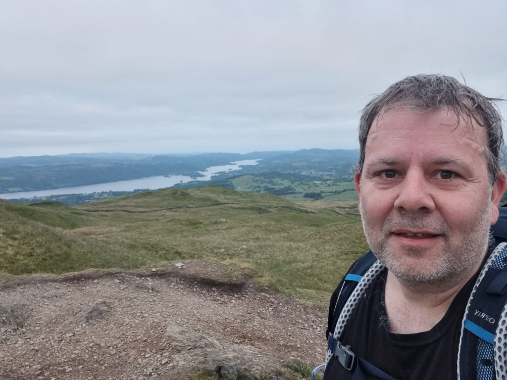
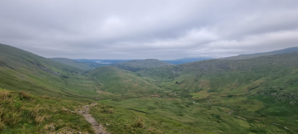
There was very little to see thanks to the cloud. There was a fairly steep descent from the Ill Bell peak, which I took very carefully given I was doing this with my leg in a support brace. This took me back below the cloud layer briefly, allowing me to see some views at least.
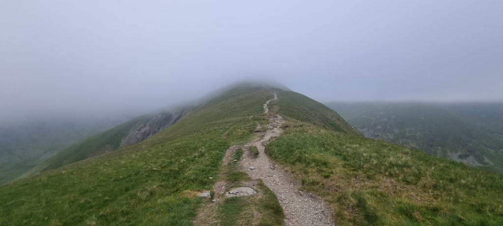
The walk along the ridge was fairly easy going, with a steady climb up to Froswick taking me back into the clouds. I reached the summit at 7:40am and there was bugger all to see up there!
Descending back under the cloud briefly, I headed onwards to Thornthwaite Crag.
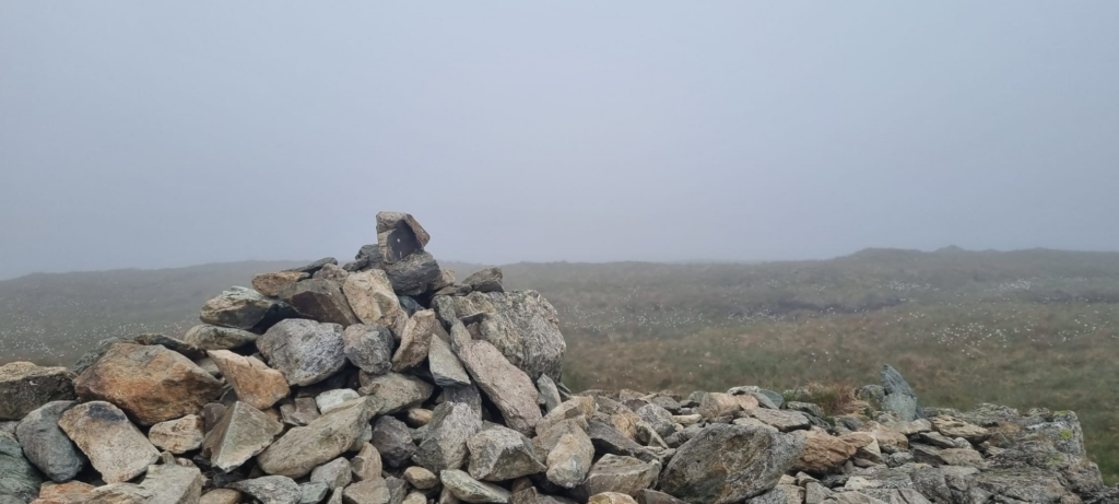
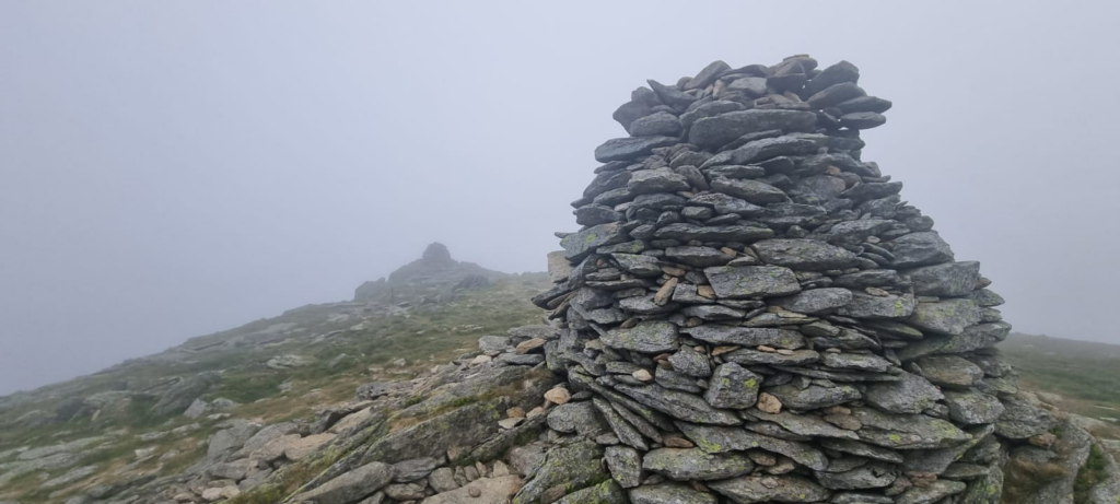
The cloud was getting thicker at this point, and the wind was making my hands very cold (I did not think to pack gloves for a June hike!). Eventually around 8:20am, the large obelisk at Thornthwaite Crag loomed out of the mist.
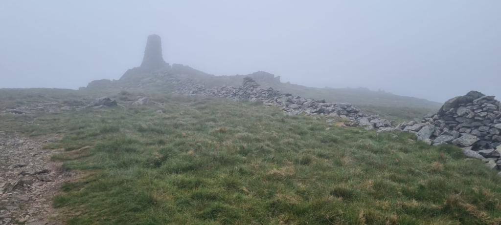
There were a couple of tents here, with occupants presumably waiting for the cloud to lift. I found shelter from the wind by the obelisk and rested for 5 mins. I had planned an optional extension to push onto High Street, but it would have added 5km in a cold wind and no decent views when I got there. So, I decided to save that for another day, and begin the journey back.
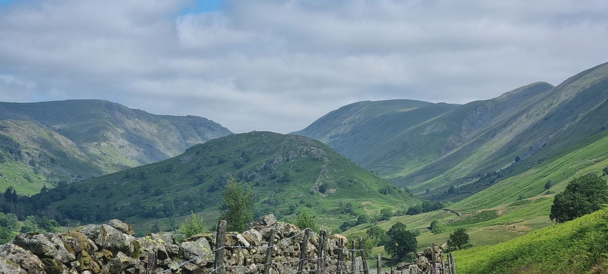
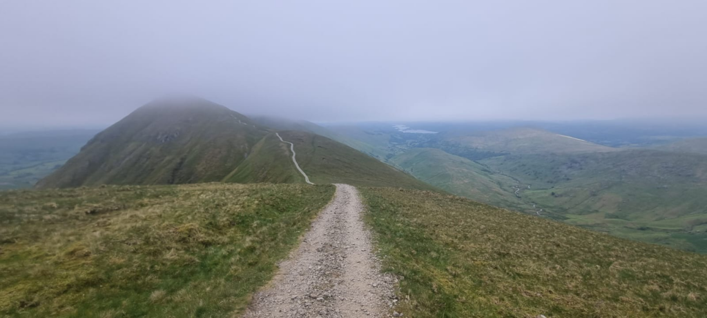
I took the descent slowly to avoid aggravating my knee, and it took around an hour to complete the steepest part towards the end of Troutbeck tongue. It was only then, when I’d reached the bottom, that the sun finally appeared
The walk back was straightforward. Just after the path up to Troutbeck Tongue, I opted to go left over a footbridge and follow a bridleway all the way back. Now, with the sun finally out and the cloud lifting, I could look back at where I had been

My return path took me via a holiday park which had a pub welcoming walkers. While it was too early for me, I might plan a return trip which hits this during opening hours!
Finally got back to car around 11:00 am. 6 Wainwrights hit before lunchtime, taking my total to 27